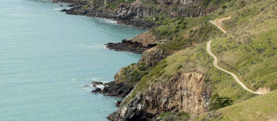
Godley Head
The Awaroa/Godley Head loop starts at the Taylors Mistake car park, just over the hill from Scarborough. It's about 7 km and three hours return, round the headland past the old wartime gun emplacements, with big views up and down the coast, and back along the Crater Rim.
If you'd rather start at the top, drive up Evans Pass to the Godley Head car park, where there are toilets, and walk the Crater Rim back towards Evans Pass: 5 km and about an hour and a half one way. Dogs are allowed on the walkway, on a lead, and nowhere else on the headland.
The Scarborough walk
From the end of Scarborough Beach, the Flowers Track climbs Whitewash Head, short and steep and slippery when it's wet. At the top, the cliff track runs on to Taylors Mistake, about 2 km more. Allow an hour or so each way, and come back the same way or get someone to pick you up.
Nicholson Park at the top of the Flowers Track is worth the climb on its own, for the view over Sumner and the coast. The cliffs below were badly damaged in the 2011 earthquakes and some land near the edge is unstable, so keep to the marked track.
Te Ara Ihutai, the Coastal Pathway
For a flat walk or bike ride, the Coastal Pathway runs 6.5 km from Ferrymead to Scarborough along the edge of the estuary. It's four metres wide and off the road, so it suits bikes, prams and wheelchairs too.
Keep an eye on the mudflats. Oystercatchers are there most of the year, and godwits and royal spoonbills come in season.
Hill tracks and bikes
Norm rides the hill tracks on his e-bike, so ask him which ones are good. We don't know of bike hire in Sumner itself, but shops in the city hire e-bikes and mountain bikes by the half day or day.
There are plenty of mountain bike tracks on the Port Hills, some just for bikes and some shared with walkers, around Godley Head and the Bridle Path.
The Bridle Path
The Bridle Path is the track the first settlers took from Lyttelton over the hill to Christchurch, formed in 1850 for horses. It climbs from the Heathcote Valley, by the Gondola car park, to the Summit Road and drops down the other side to Lyttelton. It's steep, and shared with runners and mountain bikers. Walk one way and take the Gondola or the bus for the other.
The Summit Road and the Gondola
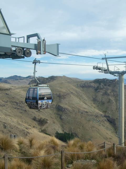
Drive along the Summit Road above Sumner and look down over the city. The Christchurch Gondola is about ten minutes away by car, and the cabins take ten minutes to the top of Mount Cavendish, with views over Pegasus Bay, Banks Peninsula and the Canterbury Plains, a café, and walks from the top.
Over the hill to Lyttelton
Lyttelton is ten minutes away through the tunnel. From the wharf, ferries cross the harbour to Diamond Harbour and Quail Island. For Hector's dolphins, the Black Cat cruises leave from Akaroa, about an hour and a half's drive.
Paragliding
Be adventurous and fly tandem off the Port Hills with one of the local paragliding instructors.